
COMMUNITY · RESEARCH
Local history research for responsible detecting
Research UK local history with maps, archives and finds records while avoiding protected sites, misleading coordinates and unauthorised detecting.
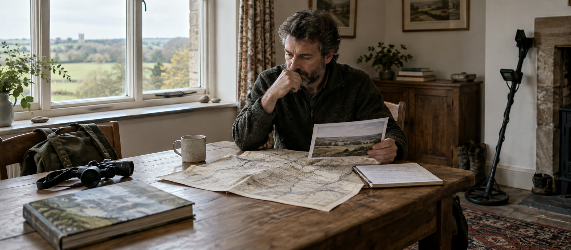
A five-source research workflow
Start with the present land parcel, add historic mapping and archive context, check protection and only then approach the landholder about a lawful, low-impact area.
A field notebook and ordinary verified kit help document an authorised survey; product placement is not a research shortcut.
Begin with the modern place
Write down the parish, current field boundary, owner or occupier contact and your research question. “Where was the old lane?” is more useful than “Where is the treasure?” Modern field boundaries may not match older maps. A road, stream or farm name can change over time; record the map edition and scale rather than treating one overlay as exact. The National Library of Scotland's historical maps provide useful UK mapping, subject to their display and reuse terms.
Next consult local authority Historic Environment Records, a county archive or local history society for context. A record of an old settlement, earthwork or archaeological discovery may indicate a protected or sensitive place. This is a reason to check restrictions and perhaps avoid the area, not a recommendation to detect it. Historic England's National Heritage List for England is the official register for nationally protected sites in England; other UK nations have their own designated-site services. Our scheduled-monument guide explains why owner consent alone is insufficient there.
Read find records as evidence, not coordinates to chase
The Portable Antiquities Scheme database can show object types and broad distribution, but public findspots may be deliberately generalised for privacy and site protection. A dot on a map is not a field-level invitation. Compare the object's identification certainty, date range and recording notes. One stray find does not prove a settlement; a cluster may have been shaped by where people were permitted to detect and what was reported. Read how PAS records work before drawing conclusions.
Create a small source table in your own notes: source name, date or map edition, what it suggests, and a reason it might mislead. Keep private coordinates out of public social posts. Record landholder terms and any agreed reporting route. Our field-log layout is a useful companion.
Worked example: an old lane beside a field
This is an imagined parish, not a real permission or findspot. It shows how to keep an interesting map mark separate from a claim you have proved.
| Check | What you might learn | What it cannot prove | Sensible next step |
|---|---|---|---|
| Historic map | An older sheet marks a lane beside several small fields. | That the line still matches today's boundary, or that objects remain there. | Note the map edition and compare another date with the current parcel. |
| Local Historic Environment Record | A record describes an earthwork elsewhere in the wider parish. | That the earthwork is the mapped lane. | Read the record description and keep the two possibilities separate. |
| Protected-site register | A scheduled area appears near the route on the modern map. | That a rough overlay shows the exact legal boundary or permits searching beside it. | If the proposed search area might overlap, stop and establish the boundary before considering it. |
| Current parcel and permission | The landholder identifies the field and any access terms. | That owner consent overrides protected-site law. | Seek written permission only for a clearly identified, lawful area. |
The defensible conclusion is modest: an old route may have changed, and the protected-area question needs resolving. It is not “this field contains finds”. Keep the map references and your reasoning in the field log, including why you ruled an area out.
Turn research into a responsible field plan
Check the specific parcel for designation, active crop and access conditions. Approach the person who can grant permission; explain the proposed area, dates, recovery method and finds agreement. If they agree, start in a small unprotected area and document where you actually searched, including the empty spaces. A negative session is still useful information about a method, not proof that a site held nothing.
Bring only the equipment you need. An ordinary verified detector such as the VANQUISH 360 can be a simple baseline for a first permitted survey; buying a flagship cannot substitute for research quality. The retailer product below is context, not a claim that it identifies historic sites.
Stop when context becomes more important than recovery
If a group of objects, structural material or an unusual concentration appears, photograph the position, protect the findspot and seek advice rather than chasing adjacent signals. Learn how to record a find and recognise grouped context. Do not scrape, polish or publicise sensitive coordinates. Good local history research can end with a recommendation not to detect a field.
Common questions
Frequently asked questions
Do old maps show where I am allowed to detect?
No. They show historical information, not current ownership, consent or protected status.
Can I use a PAS map point as an exact findspot?
Do not assume so. Public coordinates can be generalised for privacy and site protection.
Does a scheduled monument become searchable with landowner permission?
No. Scheduled protection is a separate legal constraint; check the official designation and applicable consent rules.
What should I record in a research log?
Record the source, edition or date, interpretation, uncertainty, permission status and private field observations.
Helpful products
A five-source research workflow
Start with the present land parcel, add historic mapping and archive context, check protection and only then approach the landholder about a lawful, low-impact area.

Mid-range
Minelab VANQUISH 360
Best for: Parks, fields and beaches for a beginner who wants simple controls and one detector for varied ground.
- Multi-IQ simultaneous multi-frequency
- Whole detector to 5 m (IP68)
- 1.16 kg
Automatic simultaneous multi-frequency operation, a low 1.16 kg weight and full 5 m waterproofing make this the least complicated route into mixed UK ground.
Know before buying: The deliberately simple control set offers less room to tune audio and recovery behaviour than the X-TERRA PRO.